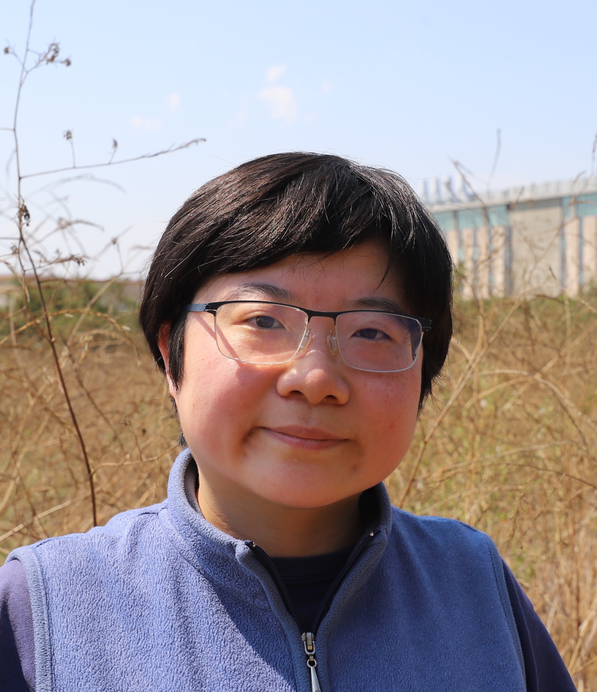
Tianjia (Tina) Liu is an Assistant Professor in the Department of Geography at the University of British Columbia, where she leads the Environmental Modeling, oBservations, and Remote Sensing (EMBRS) Lab. Tina is also a Faculty Associate in the Institute for Resources, Environment, and Sustainability (IRES). Her lab investigates air quality, public health, and climate-related issues with a central focus on fires. Recent research topics include mapping the satellite-derived progression of wildfires using geostationary satellite data, investigating the climate and active fire suppression controls on fire spread, and quantifying the air quality and public health impacts of fires. Broadly, Tina uses a combination of remote sensing, GIS, statistics/machine learning, and atmospheric modeling to understand modern human-fire relationships, the role of fire in the Earth system, and the impacts of extreme events on planetary health. She loves data visualization with geospatial data, such as with Google Earth Engine Apps, and wrangling code to explore all kinds of data from satellites, aircraft, ground monitors, models, and surveys/reports. Prior to joining UBC, Tina was a NOAA Climate & Global Change Postdoctoral Fellow at UC Irvine from 2022-2024; she completed her PhD in Earth and Planetary Sciences at Harvard University in 2022 and her BA in Environmental Science at Columbia University in 2017. In her spare time, Tina enjoys poetry, photography, music soundtracks (e.g., from TV shows, movies, video games), basketball, board games, and crime dramas/docuseries.
Conferences/Events
Climate Dynamics Group, University of British Columbia
April 29, 2025 in Vancouver, BC, Canada
I presented a talk on "Building a data-driven framework for modeling large wildfire growth: Mapping fire progression and understanding drivers of fire spread" for the Climate Dynamics Group at UBC.
Earth Lab, University of Colorado, Boulder
March 18, 2025 (virtual)
I presented a talk on "Building a data-driven framework for modeling large wildfire growth: Mapping fire progression and understanding drivers of fire spread" for the Earth Lab Environmental Data Science Seminar Series. (abstract)
American Geophysical Union Fall Meeting 2024
December 9, 2024 at Walter E. Washington Convention Center, Washington, D.C.
I presented a talk on "Building a modeling framework to untangle the influence of suppression on wildfire growth in California" on Monday morning (9:45-9:55 AM), December 9 (abstract, profile).
Scripps Institution of Oceanography
October 8, 2024 in La Jolla, CA
I presented a talk on "Building a data-driven framework for modeling large wildfire growth: Mapping fire progression and understanding the role of suppression and other drivers of fire spread" for the Scripps Climate and Atmosphere Seminar Series.
Papers/Writing
Multi-ignition fire complexes drive extreme fire years and impacts
January 2, 2026
Rebecca Scholten's paper is published in Science Advances (main + SI)!
Leveraging additional VIIRS information to improve fire tracking and emissions estimation in the western US
December 3, 2025
Shane Coffield's paper is published in Remote Sensing of Environment (main + SI)!
Large role of anthropogenic climate change in driving smoke exposure across the western United States from 1992 to 2020
December 2, 2025
Xu Feng's paper is published in PNAS (main + SI)!
Near real-time indicators of burn severity in the western U.S. from active fire tracking
October 7, 2025
Eli Orland's paper is published in Fire Ecology (main + SI)!
Biomass burning emission estimation in the MODIS era: state-of-the-art and future directions
September 4, 2025
Mark Parrington's paper is published in Elementa (main + SI)!